FillTalus Node
Fill the heightmap starting from the highest elevations using a regular downslope.
Category
Filter/Advanced Filters
Inputs
| Name | Type | Description |
|---|---|---|
| input | VirtualArray | Input heightmap. |
| seed_mask | VirtualArray | No description |
Outputs
| Name | Type | Description |
|---|---|---|
| output | VirtualArray | Output heightmap. |
Parameters
| Name | Type | Description |
|---|---|---|
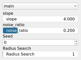
| Radius Search | Integer | No description |
| noise_ratio | Float | No description |
| Seed | Random seed number | Random seed number. The random seed is an offset to the randomized process. A different seed will produce a new result. |
| slope | Float | Downslope used for filling. |
Example
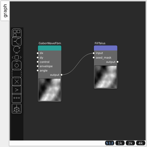
Corresponding Hesiod file: FillTalus.hsd. Use [Ctrl+I] in the node editor to import a hsd file within your current project.
Note
Example files are kept up-to-date with the latest version of Hesiod. If you find an error, please open an issue.