Preview Node
TODO

Category
Debug
Inputs
| Name | Type | Description |
|---|---|---|
| cloud | Cloud | No description |
| elevation | VirtualArray | TODO |
| normal map | VirtualTexture | TODO |
| path | Path | No description |
| scalar | VirtualArray | TODO |
| texture | VirtualTexture | TODO |
| water_depth | VirtualArray | Output water depth map representing flooded areas. |
Example
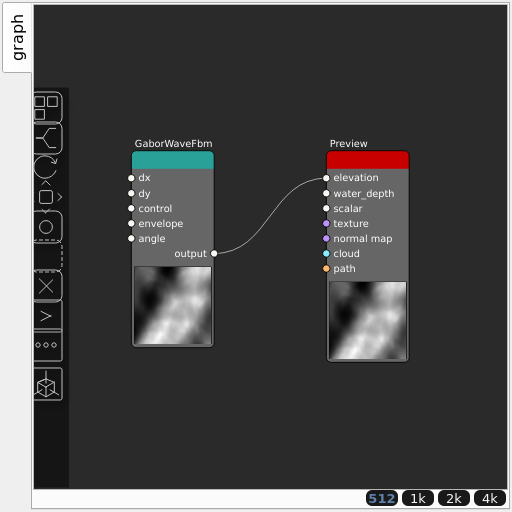
Corresponding Hesiod file: Preview.hsd. Use [Ctrl+I] in the node editor to import a hsd file within your current project.
Note
Example files are kept up-to-date with the latest version of Hesiod. If you find an error, please open an issue.