Path Node
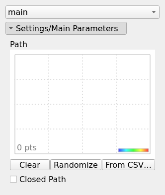
A polyline defined by a series of connected points (x, y) with elevation data (z). Paths can represent linear features such as roads, rivers, or boundaries.
Category
Geometry/Path
Inputs
| Name | Type | Description |
|---|---|---|
| background | VirtualArray | No description |
Outputs
| Name | Type | Description |
|---|---|---|
| path | Path | Outputs the path as a set of directed points (x, y) and elevations (z). |
Parameters
| Name | Type | Description |
|---|---|---|
| Closed Path | Bool | No description |
| Path | Path | The sequence of points defining the path. Each point consists of coordinates (x, y) and an elevation (z). |
Example
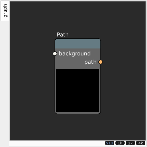
Corresponding Hesiod file: Path.hsd. Use [Ctrl+I] in the node editor to import a hsd file within your current project.
Note
Example files are kept up-to-date with the latest version of Hesiod. If you find an error, please open an issue.