FlowSimulation Node
No description available
Category
Hydrology
Inputs
| Name | Type | Description |
|---|---|---|
| depth_map | VirtualArray | No description |
| elevation | VirtualArray | No description |
| rain_map | VirtualArray | No description |
| water_depth_in | VirtualArray | No description |
Outputs
| Name | Type | Description |
|---|---|---|
| water_depth | VirtualArray | Output water depth map representing flooded areas. |
Parameters
| Name | Type | Description |
|---|---|---|
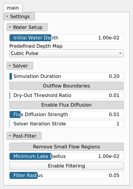
| Remove Small Flow Regions | Bool | No description |
| Predefined Depth Map | Enumeration | No description |
| Dry-Out Threshold Ratio | Float | No description |
| Simulation Duration | Float | No description |
| Enable Flux Diffusion | Bool | No description |
| Flux Diffusion Strength | Float | No description |
| Outflow Boundaries | Bool | No description |
| Enable Filtering | Bool | No description |
| Filter Radius | Float | No description |
| Minimum Lake Radius | Float | No description |
| Solver Iteration Stride | Integer | Grid sampling stride used by the solver. 1 (default) runs the simulation at full resolution. Higher values run it on a coarser grid and upsample the result, which is faster on very large maps but smears fine flow structure. |
| Initial Water Depth | Float | No description |
Example
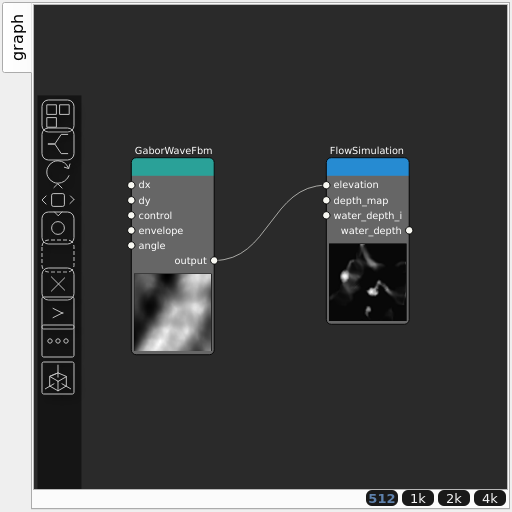
Corresponding Hesiod file: FlowSimulation.hsd. Use [Ctrl+I] in the node editor to import a hsd file within your current project.
Note
Example files are kept up-to-date with the latest version of Hesiod. If you find an error, please open an issue.