Gavoronoise Node
Generates a 2D heightmap using the GavoroNoise algorithm, a procedural noise technique for terrain generation.
Category
Primitive/Coherent
Inputs
| Name | Type | Description |
|---|---|---|
| angle | VirtualArray | Optional input for dynamically modifying the wavelet orientation per pixel. |
| control | VirtualArray | Optional input that modulates noise intensity or distribution. |
| dx | VirtualArray | Displacement with respect to the domain size (x-direction). |
| dy | VirtualArray | Displacement with respect to the domain size (y-direction). |
| envelope | VirtualArray | Heightmap used as a post-process amplitude multiplier for the generated noise. |
Outputs
| Name | Type | Description |
|---|---|---|
| output | VirtualArray | The final heightmap generated using the GavoroNoise algorithm. |
Parameters
| Name | Type | Description |
|---|---|---|
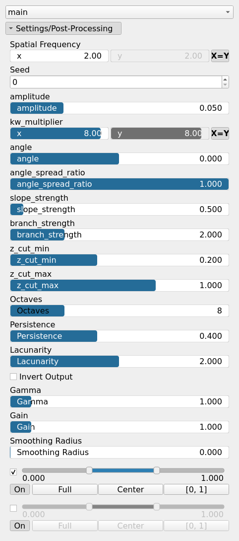
| amplitude | Float | Controls the overall intensity of the noise function. |
| angle | Float | Sets the primary orientation of the wave structures in the noise. Expressed in degrees. |
| angle_spread_ratio | Float | Determines the degree of variation in the angle of the wave structures. Lower values create more aligned structures. |
| branch_strength | Float | Controls the prominence of branch-like features in the generated noise. |
| Spatial Frequency | Wavenumber | Base spatial frequencies in the X and Y directions. The frequencies are defined with respect to the entire domain: for example, kw = 2 produces two full oscillations across the domain width (and similarly for the Y direction). |
| kw_multiplier | Wavenumber | Multiplier applied to the wave numbers, affecting the frequency scaling of the noise function. |
| Lacunarity | Float | The frequency scaling factor for successive noise octaves. Higher values increase the frequency of each successive octave. |
| Octaves | Integer | The number of octaves for fractal noise generation. More octaves add finer details to the terrain. |
| Persistence | Float | The amplitude scaling factor for subsequent noise octaves. Lower values reduce the contribution of higher octaves. |
| Gain | Float | Mid-centered gain transformation applied to the elevation values. This is a non-linear recurve operator centered around the mid elevation (typically 0.5). Increasing the gain pushes values toward the minimum and maximum elevations, creating flatter low/high regions with a steeper transition around the midpoint. |
| Gamma | Float | Standard gamma correction applied to the elevation values. This is a monotonic power-law remapping that shifts emphasis toward low or high elevations, making the overall shape sharper or bulkier without changing its ordering. |
| Invert Output | Bool | Inverts the output values after processing, flipping low and high values across the midrange. |
| Remap Range | Value range | Linearly remaps the output values to a specified target range (default is [0, 1]). |
| Saturation Range | Value range | Modifies the amplitude of elevations by first clamping them to a given interval and then scaling them so that the restricted interval matches the original input range. This enhances contrast in elevation variations while maintaining overall structure. |
| Smoothing Radius | Float | Defines the radius for post-processing smoothing, determining the size of the neighborhood used to average local values and reduce high-frequency detail. A radius of 0 disables smoothing. |
| Seed | Random seed number | Random seed number. The random seed is an offset to the randomized process. A different seed will produce a new result. |
| slope_strength | Float | Controls the strength of slope-based directional erosion in the noise function. |
| z_cut_max | Float | Defines the maximum cutoff value for the Z-axis in the generated noise. |
| z_cut_min | Float | Defines the minimum cutoff value for the Z-axis in the generated noise. |
Example
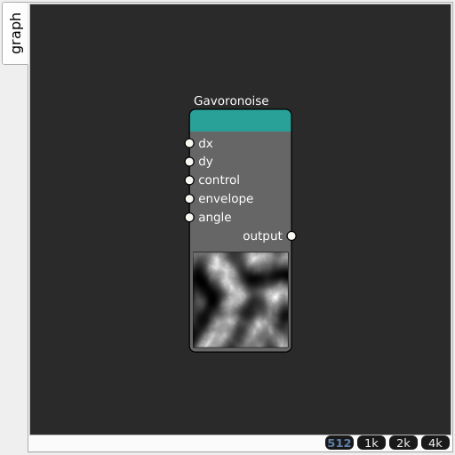
Corresponding Hesiod file: Gavoronoise.hsd. Use [Ctrl+I] in the node editor to import a hsd file within your current project.
Note
Example files are kept up-to-date with the latest version of Hesiod. If you find an error, please open an issue.